by Paul Hislip, Communications intern (Class of 2018)
For 50 years now, planning has been a fixture of Rutgers University. But how did it originate, and where will it go from here?
It starts with a man named Harland Bartholomew, a renowned public planner from the early 20th century and called “the dean of comprehensive city planning in the United States” in his 1989 New York Times obituary. He completed two years of civil engineering studies at Rutgers in the early 1900’s, but didn’t earn his degree. Instead, he joined the workforce at a civil engineering firm that advocated for the efficient planning of cities and later received an honorary Rutgers degree.
As part of the American Planning Association-New Jersey’s chapter recognition of “50 Years of Planning at the Bloustein School” at its annual conference on January 26, 2017, Bloustein School Dean James W. Hughes noted that “urban planning” was first defined as a profession by Bartholomew in 1911, after he left Rutgers to begin working. Urban planning as an undergraduate major, however, did not arrive at Rutgers until the mid-1940’s when planning engineering was introduced as part of the School of Engineering curriculum. Rutgers created the Department of Urban Planning and Policy Development (UPPD) in 1967 on the newly created Kilmer Campus when students began seeking out education in planning because it was seen as a solution to many problems, and it was even seen as “the best way to beat oppression” at the time.
Since then, the success of the Bloustein School’s planning program has been aided by the rise of information technology. Professors Lyna Wiggins and Clinton Andrews discussed how a very large part of planning is mapping out communities, something taken for granted in today’s technology-dominated educational climate. As a graduate student in the 1960’s, Dr. Wiggins noted that she was sent to Harvard, where a new Laboratory for Computer Graphics and Spatial Analysis was formed, to get a better understanding of how to map regions out by using geographic information science (GIS). But with the advent of the first computers in the 1980’s this became a much easier—but still arduous—process. Instead of having to do everything by hand, planners and students could enter data into computers… one line of code at a time.
She noted that things are very different today and (thankfully) much more streamlined. GIS data collected in the field can be entered right away into a database via smartphone, and cloud services like UrbanSim assists planners everywhere with projects in big cities.
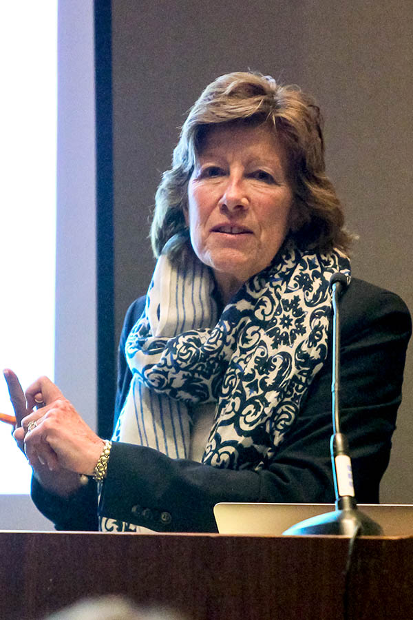
Having reviewed the history of planning and its introduction at Rutgers, Bloustein professor and associate dean Clinton Andrews went on to discuss the present and need to look towards the future. The population is going to continue increasing both the United States and the world; this means, she said, that we as planners need to ask ourselves, what is considered “universal” in planning? By looking at existing statistics, a few predictions about the future can be made. The world will slowly continue to urbanize, and cities will be getting bigger, but less dense. There will be more wealth to go around, but it will be more concentrated. While it remains to be seen what exactly it all means for planners of the future, all of these factors are important to keep in mind when planning today.
Bloustein alumnus and instructor Susan Gruel MCRP ‘72 ended the session with a few pointers about how to be an effective public planner. Perhaps the most important of them was to understand that public policy is a very important component of planning, and is a very “politically charged” field—housing especially so. Planners must be in the planning process without being political, she said, sand not let bias get in the way of making their decisions. Additionally, it can be a messy process and sometimes there isn’t much you can do about it; just go with the flow.


