University Operating Status
The university remains open. For changes to schedules, including remote instruction and operations due to expected weather conditions, check rutgers.edu/status and https://newbrunswick.rutgers.edu/operating-status for updates.

- This event has passed.
Inside the Black Box: Mapping Neighborhood Boundaries in a Muslim Informal Settlement. Case of Jamia Nagar, Delhi, India

Presented by Zehra Mahdi, Fulbright-Nehru Doctoral Research Fellow at the Edward J. Bloustein School of Planning and Public Policy and doctoral candidate at the Department of Architecture and Regional Planning, Indian Institute of Technology (IIT), Kharagpur, India. Her doctoral research focuses on neighborhood change in informal settlements in Delhi, India that are predominantly inhabited by the Muslim community and influenced by the presence of anchor institutions.
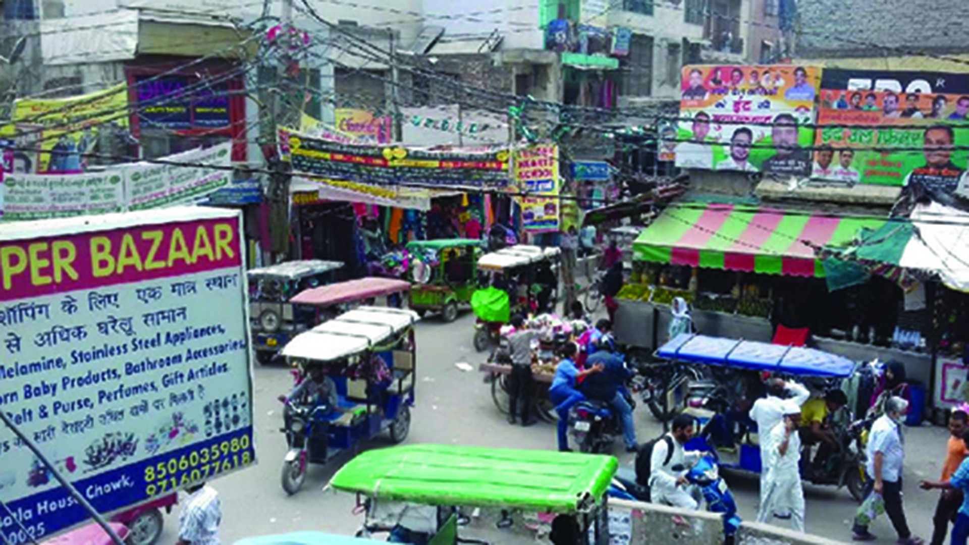
Muslim spaces in India are often characterized by a socio-spatial bundle of attributes enmeshed in planning informalities. They are frequently viewed through a lens of opaqueness and homogeneity by the State, planners, policy-makers, and other residents. Such a generalization of space leads to stigmatization and uneven distribution of State resources. This talk illustrates the internal heterogeneity and dynamics of socio-spatial organization within Muslim spaces. It examines how residents define their neighborhoods by evoking spatial and non-spatial variables of distinctions, and how their perception and delineation of neighborhoods differ based on their positionality. It then provides a method to reach consensus from multiple, overlapping boundaries to operational neighborhood units. It is an attempt to move beyond the binaries of formal-informal, religious, and ethnic groups as black-box typifications in urban spaces, and to counter map admin-political boundaries ‘from below’ by accounting for residents’ sensibilities, agency, and consensus.
